
Colonial pathways still shape Chennai's transport network today
How East India Company escape routes and pre-colonial high roads shaped Chennai's modern transport network and urban geography.

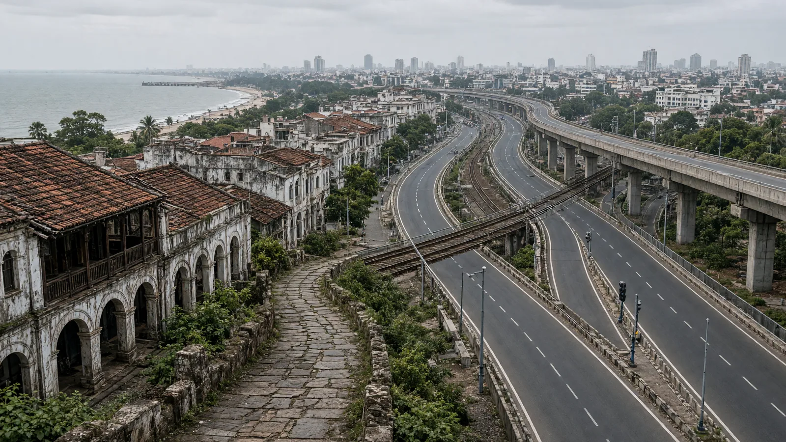
How colonial highways and forgotten veethis built Chennai's transport skeleton
Chennai's arterial roads began not as public thoroughfares but as private getaways, routes carved for East India Company servants seeking weekend retreats and garden bungalows far from the Fort. That these colonial escape paths now anchor the city's public transport network is an unintended legacy, a twist written over centuries of movement.
From veethis to Fort-centric roads
Before Madras consolidated as a colonial entity, pre-colonial villages relied on veethis, high roads designed to link self-contained settlements. The arrival of the Fort and its administrative heart demanded new routes that had not existed, rewriting the region's geography around colonial priorities rather than village logic. In Old Black Town, streets initially followed caste divisions and local access patterns before the Esplanade, High Court, and law college erased those traces; neighbouring George Town still preserves fragments of that older layout.
When planned layouts briefly centred people
Only with the emergence of planned neighbourhoods, T. Nagar, Shenoy Nagar, K.K. Nagar, did public accessibility become the primary design criterion for street layouts. Yet later developments abandoned that principle, losing the thread of inclusive planning.
A palimpsest of modes
The city's transport history layers foot travel, boats, carts, carriages, palanquins, tramways, trains, two-wheelers, buses, aircraft, and metro rail atop one another, none fully erasing what came before. Walking, the oldest mode, persists despite obstacles; the wealthy once rode horses, travelled in carriages, or were carried in palanquins, methods the colonials adopted and then evolved. Urban density demanded speed, passageways and conveyances available "at the double", while rural hamlets had no such urgency.
Dreams and archives
The history also includes systems planned but never built, because cities are shaped as much by ambition as execution. The Hindu's 148-year archive helps reconstruct this perpetual movement, marking Madras Day with a reminder that transport did not just serve the city, it defined it.
Source: The Hindu
Frequently asked questions
How did colonial pathways shape Chennai's modern transport network?
Chennai's arterial roads began as private routes carved by East India Company servants for weekend retreats. These colonial escape paths now anchor the city's public transport network as an unintended legacy spanning centuries.
What were veethis in pre-colonial Chennai?
Veethis were high roads designed to link self-contained settlements before colonial consolidation. They followed village logic and local access patterns, unlike the Fort-centric roads that later reoriented the region's geography around colonial priorities.
Which Chennai neighborhoods were designed with public accessibility as a priority?
Planned neighbourhoods like T. Nagar, Shenoy Nagar, and K.K. Nagar emerged as the first areas where public accessibility became the primary design criterion for street layouts.
What transport modes have layered onto Chennai's streets over time?
Chennai's transport history layers foot travel, boats, carts, carriages, palanquins, tramways, trains, two-wheelers, buses, aircraft, and metro rail atop one another, with walking persisting as the oldest mode despite modern obstacles.
You may also like
 Tamil Nadu
Tamil Nadu CM Vijay Gives ₹5.96 Crore Aid To Families Of Police Personnel
 Tamil Nadu
Tamil Nadu keeps special officers in charge of rural bodies till April 2027
 Politics
Tamil Nadu guest lecturers await government order for ₹5,000 honorarium hike
 Weather
Assessment flags cyclonic wind, flood risks to telecom towers in Assam, Tamil Nadu
Most read
- 1
Air China Adds Extra Flight for Passengers Stranded in Fuel-Starved Cuba
- 2
Western disturbance to bring rain, hail and strong winds across north India
- 3
Yogi Adityanath Directs No Occupied Houses Be Demolished for Achhalda Bridge
- 4
Gwalior Temple Truck Crash Kills 12, Injures 28-29 Devotees During Navratri
- 5
Schools Shut in Five Tamil Nadu Districts, Including Chennai, Amid Heavy Rain
Comments
No comments yet. Be the first to comment.