
Truck Travelled 7 Km Through No-Entry Zone Before Gwalior Crash Killed 15
A truck travelled nearly 7 kilometres through a no-entry zone before a devastating accident on the Chinaur-Sheetla Mata Road in Gwalior.


A truck travelled nearly 7 kilometres through a no-entry zone before a devastating accident on the Chinaur-Sheetla Mata Road in Gwalior. The crash, which took place at around 1:30 am on the intervening night of Saturday and Sunday, claimed the lives of 15 people. Allegations have been made that the driver was under the influence of alcohol and continued driving with the help of Google Maps.
The incident has raised serious questions about traffic management, road safety arrangements and the monitoring of restricted routes. The fact that the truck continued for nearly seven kilometres despite the no-entry restriction points to possible gaps in enforcement and security arrangements.
The circumstances of the accident have brought one central question into focus: why was the truck not stopped earlier? If the entry of heavy vehicles was prohibited on the route, it needs to be examined how the truck entered the no-entry area and travelled such a long distance without being intercepted.
The role of traffic police monitoring, barricading and enforcement of restrictions on the route will be important in understanding what happened. The effectiveness of the arrangements meant to prevent heavy vehicles from entering the restricted stretch also needs to be examined.
The source of the route has also become part of the discussion. The truck is alleged to have kept moving after relying on Google Maps. Digital navigation can sometimes guide heavy vehicles towards routes that are restricted or unsuitable for them. However, the final decision to enter a road rests with the driver, who is expected to follow traffic rules and road signs.
For that reason, the role of Google Maps alone cannot be treated as sufficient to explain the accident. The investigation needs to examine what route the navigation system showed, what signs were installed on the road and whether the restrictions were clearly visible. The condition of the signs and the effectiveness of the barricading for heavy vehicles will also need to be checked.
Five possible lapses have emerged in the assessment of the accident.
The first concerns the enforcement of the no-entry restriction. Questions have been raised about the arrangements meant to stop a heavy vehicle from entering a road where such entry was prohibited.
The second relates to monitoring. Since the truck reportedly travelled nearly seven kilometres, the checking and surveillance arrangements along the route require scrutiny. The investigation will need to establish whether the truck passed points where it could have been detected and stopped.
The third issue is the condition of the driver. There are allegations that the driver was intoxicated. These allegations should be confirmed through a medical examination and police records, rather than being treated as an established fact without verification.
The fourth issue is the condition of route signage. On a road restricted for heavy vehicles, clear signs and effective barricading are essential. Their placement, visibility and effectiveness in stopping the truck need to be examined.
The fifth concerns the absence of timely action. If the truck was violating the rules while moving through the restricted route, responsibility must be fixed for why it was not stopped in time.
The Gwalior incident is therefore not only a road accident but also a warning about the need to review road-safety arrangements. The investigation must clarify how the truck reached the restricted route, what the driver’s condition was and at which levels possible negligence occurred.
After the deaths of 15 people, the biggest question remains whether the truck could have been stopped before the accident. The findings of the investigation will show which lapses were responsible for the tragedy and what accountability will be fixed to prevent such incidents in the future.
Frequently asked questions
How far did the truck travel through the no-entry zone before the crash?
The truck travelled nearly 7 kilometres through the no-entry zone.
When did the crash occur?
The crash took place at around 1:30 am on the intervening night of Saturday and Sunday.
How many people died in the crash?
The crash claimed the lives of 15 people.
What allegations have been made about the driver?
There are allegations that the driver was under the influence of alcohol and continued driving with the help of Google Maps.
What issues will the investigation examine?
The investigation will examine traffic monitoring, barricading, enforcement of the no-entry restriction, route signage and the driver's condition.
You may also like
 Education
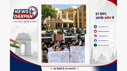
GRMC Junior Doctors Strike Over Alleged Assault On Dean, OPD Services Hit
 Accident
Gwalior Temple Road Accident Triggers Magisterial Inquiry, Report Due In 7 Days
 National
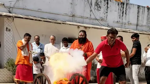
Weapons of 745 Sadhus Who Sacrificed Their Lives Worshipped in Gwalior
 Politics
Jyotiraditya Scindia Follows 200-Year-Old Dussehra Tradition in Gwalior
Most read
- 1
Air China Adds Extra Flight for Passengers Stranded in Fuel-Starved Cuba
- 2
Western disturbance to bring rain, hail and strong winds across north India
- 3
Yogi Adityanath Directs No Occupied Houses Be Demolished for Achhalda Bridge
- 4
Gwalior Temple Truck Crash Kills 12, Injures 28-29 Devotees During Navratri
- 5
Heavy Rain Waterlogs Bengaluru, Snarls Traffic; Ride-Hailing Fares Surge
Comments
No comments yet. Be the first to comment.