
Low-pressure system intensifies over Bay of Bengal, triggers maritime alerts
Low-pressure system intensifies over Northwest Bay of Bengal. Wind speeds forecast to reach 60 kmph. West Bengal, Odisha, North Andhra on alert through Aug

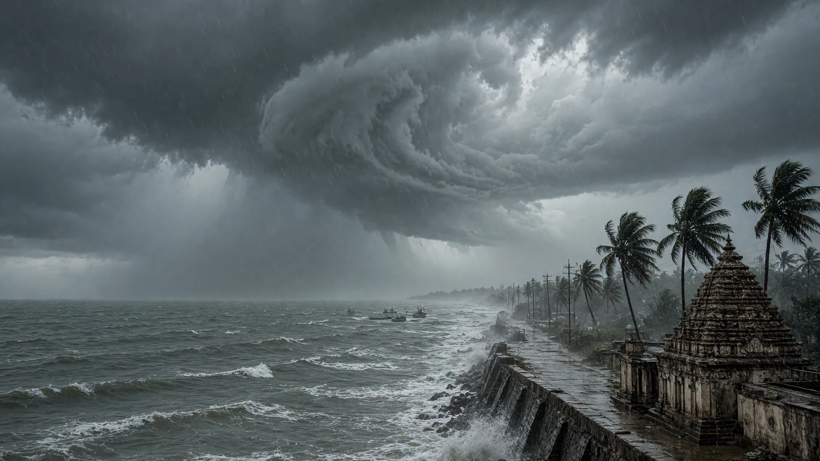
A weather system intensified over the Northwest Bay of Bengal early Sunday morning, triggering maritime restrictions and coastal alerts across three eastern states as wind speeds are forecast to touch 60 kmph over the next two days.
The India Meteorological Department confirmed that a low-pressure area consolidated at 5.30 a.m. on August 23, 2026, driven by an active upper-air cyclonic circulation positioned off the West Bengal-Bangladesh coasts. The system is expected to amplify regional atmospheric activity, with squally weather and wind speeds of 40 to 50 kmph, gusting up to 60 kmph, forecast over the Northwest and adjoining west-central Bay of Bengal.
Coastal belt braces for rough seas
West Bengal, adjoining Odisha, and North Andhra Pradesh will bear the brunt of the adverse weather through August 24, with sea conditions deteriorating to rough and very rough states. Officials have warned that maritime sectors will encounter hazardous swells and turbulent waters over the next 48 hours.
The weather bureau responded by imposing a total prohibition for workers at sea, reflecting the severity of the maritime threat. Fishermen have been strongly advised to avoid venturing into the Northwest and adjoining west-central Bay of Bengal, and to stay away from waters along and off the coasts of West Bengal, Odisha, and North Andhra Pradesh until August 24.
Authorities on standby
Port authorities and disaster management cells along the eastern coastline have been placed on alert as meteorological agencies continue close monitoring of the system. The India Meteorological Department issued comprehensive wind and sea state warnings for eastern and east-central coastal regions in response to the expected intensification of regional atmospheric activity.
The advisory underscores the immediate risk to fishing communities and coastal operations, with the prohibition remaining in force until the weather system weakens or moves away from the affected coastline.
Source: The Hindu
Frequently asked questions
What weather system has formed over the Bay of Bengal?
A low-pressure area consolidated over the Northwest Bay of Bengal on August 23, 2026, driven by an active upper-air cyclonic circulation positioned off the West Bengal-Bangladesh coasts.
What wind speeds are expected in the affected region?
Wind speeds of 40 to 50 kmph are forecast over the Northwest and adjoining west-central Bay of Bengal, with gusts expected to reach up to 60 kmph over the next two days.
Which states will be most affected by this weather system?
West Bengal, adjoining Odisha, and North Andhra Pradesh will bear the brunt of the adverse weather through August 24, with rough and very rough sea conditions expected.
What restrictions have been imposed for maritime activities?
A total prohibition for workers at sea has been imposed. Fishermen are strongly advised to avoid venturing into the Northwest and adjoining west-central Bay of Bengal and coastal waters until August 24.
You may also like
 Politics
BJP Leader Braj Mohan Ram Sworn In as Odisha’s 28th Governor
 Education
Odisha Governor Orders Universities to Fill Teaching Posts Amid 70% Vacancy
 Politics
Yet to assess impact of mines Act on Odisha, says Minister as leg
 Uttarakhand
Odisha sets up expert panel to care for five rescued baby orangutans
Most read
- 1
Air China Adds Extra Flight for Passengers Stranded in Fuel-Starved Cuba
- 2
Western disturbance to bring rain, hail and strong winds across north India
- 3
Yogi Adityanath Directs No Occupied Houses Be Demolished for Achhalda Bridge
- 4
Gwalior Temple Truck Crash Kills 12, Injures 28-29 Devotees During Navratri
- 5
Schools Shut in Five Tamil Nadu Districts, Including Chennai, Amid Heavy Rain
Comments
No comments yet. Be the first to comment.