
UN backs Equal Earth map projection, challenging 455-year-old Mercator standard
UN General Assembly votes to replace 455-year-old Mercator projection with Equal Earth map, showing Africa larger and more accurate continental sizes.

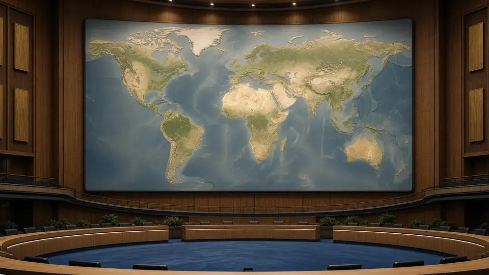
The United Nations General Assembly has formally backed a resolution calling for the adoption of the Equal Earth cartographic projection, a map that presents Africa as larger while reducing the size of North America and Europe compared to traditional world maps.
The resolution, supported by 164 countries, seeks "a more accurate representation" of continental landmasses. The United States cast the sole vote against the measure, while six other states abstained.
Replacing a 455-year-old standard
The Equal Earth projection is positioned as an alternative to the Mercator projection, which has served as the dominant world map since Flemish cartographer Gerardus Mercator designed it for maritime navigation in 1569. The resolution describes the new projection as "a relevant option for improving the accuracy of the cartographic representation of the world" and urges member states to adopt it in place of the Mercator map.
Several African countries spearheaded the initiative. Togo's Foreign Minister Robert Dussey, whose country drove the resolution, argued that maps "guide education, nourish the imagination, and influence collective perceptions".
"They are therefore never neutral, when they present a distorted image of our planet, they risk perpetuating inaccurate representation that are passed down through generation," Dussey said.
The vote marks a significant shift in how the world's geography may be depicted in classrooms, atlases and official documents, challenging centuries of cartographic convention that critics say has minimised the visual prominence of the Global South.
Source: South China Morning Post
Frequently asked questions
What is the Equal Earth map projection?
The Equal Earth projection is a new cartographic map that presents Africa as larger while reducing the size of North America and Europe compared to traditional world maps, offering what the UN describes as a more accurate representation of continental landmasses.
How long has the Mercator projection been the standard?
The Mercator projection has been the dominant world map standard for 455 years, designed by Flemish cartographer Gerardus Mercator in 1569 for maritime navigation.
How did countries vote on the UN resolution?
The resolution was supported by 164 countries, with the United States casting the sole vote against it and six other states abstaining.
Why do critics say maps are not neutral?
According to Togo's Foreign Minister Robert Dussey, maps guide education and influence collective perceptions. When they present a distorted image of the planet, they risk perpetuating inaccurate representations that are passed down through generations.
You may also like
 National
India backs UN push to fix world maps distorting Africa's true size
 National
Hong Kong to deepen economic ties with Global South and Middle East
 National
India's Jaishankar to address UN General Assembly on September 26
 National
Hong Kong could become global model for low-fertility societies, UN official suggests
Most read
- 1
Tesla audits Chinese suppliers to scale up Optimus robot production
- 2
Former minister Lakhan Singh Rajput to inaugurate temple bhandara at Shri Chakreshwar Mahadev
- 3
Firozabad BSA finds four government schools locked during inspection
- 4
Tamil Nadu dengue cases fall for third consecutive year to 17,049
- 5
Social workers stage silent protest at Fufund railway station for train halts
Comments
No comments yet. Be the first to comment.